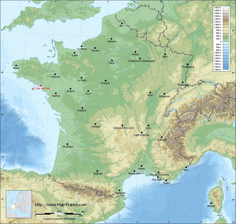
Le Tour-du-Parc on the relief France map in Lambert 93 coordinates
|
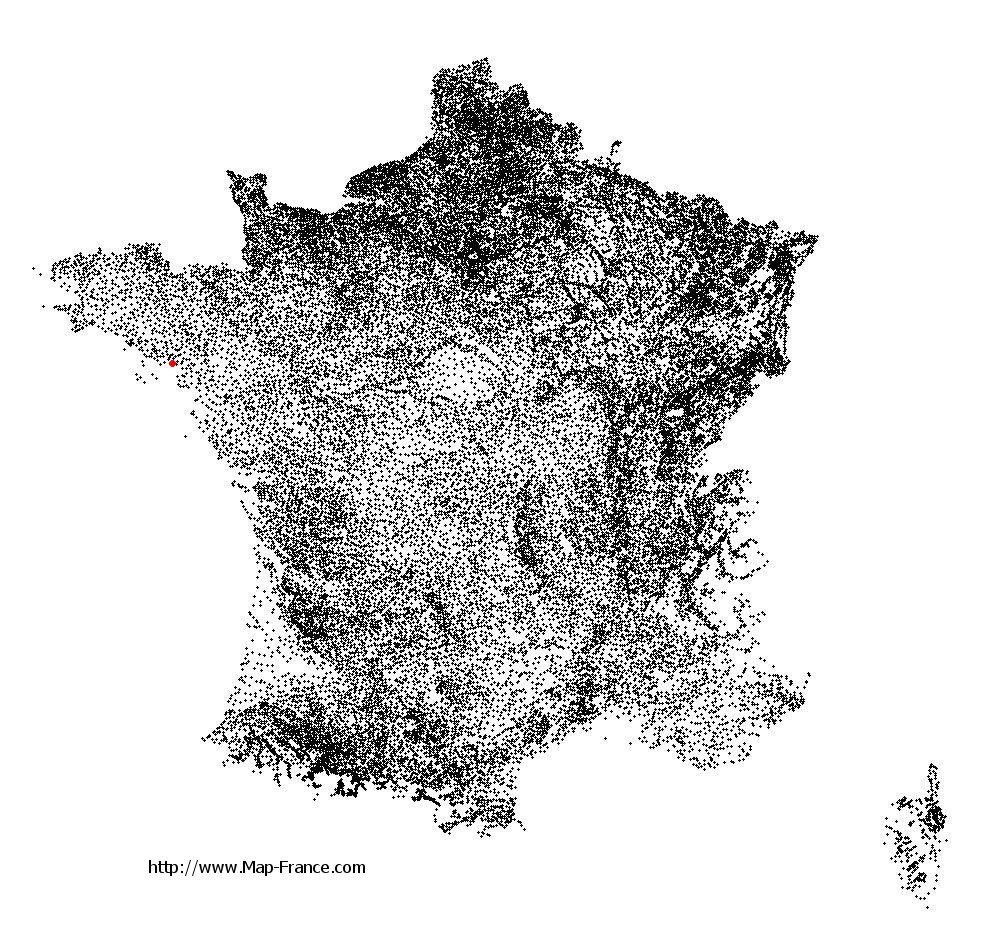
See the map of Le Tour-du-Parc in full screen (1000 x 949)
|
At left, here is the location of Le Tour-du-Parc on the relief France map in Lambert 93 coordinates.
Here are the altitudes of Le Tour-du-Parc :
- Town hall altitude of Le Tour-du-Parc is 12 meters
- Minimum altitude of Le Tour-du-Parc is 0 meters
- Maximum altitude of Le Tour-du-Parc is 17 meters
- Medium altitude of Le Tour-du-Parc is 9 meters
Here are the altitudes of Vannes, prefecture of Morbihan department:
- Town hall altitude of Vannes is 10 meters
- Minimum altitude of Vannes is 0 meters
- Maximum altitude of Vannes is 56 meters
- Medium altitude of Vannes is 28 meters
Here are the altitudes of the french biggest cities:
Paris : 33 meters
Marseille : 20 meters
Lyon : 237 meters
Toulouse : 146 meters
Nice : 10 meters
Nantes : 20 meters
Strasbourg : 144 meters
Montpellier : 35 meters
Bordeaux : 16 meters
Lille : 20 meters
Rennes : 35 meters
Reims : 83 meters
Click here for the terrain map of Le Tour-du-Parc in full screen:
Relief map of Le Tour-du-Parc
|
This relief map of Le Tour-du-Parc is reusable and modifiable by making a link to this page of the Map-France.com website or by using the given code :
|
Terrain base map of Le Tour-du-Parc
|

See the terrain base map of Le Tour-du-Parc in full screen (1000 x 949)
|
Small relief base map of Le Tour-du-Parc

|
This base map of Le Tour-du-Parc is reusable and modifiable by making a link to this page of the Map-France.com website or by using the given code :
|
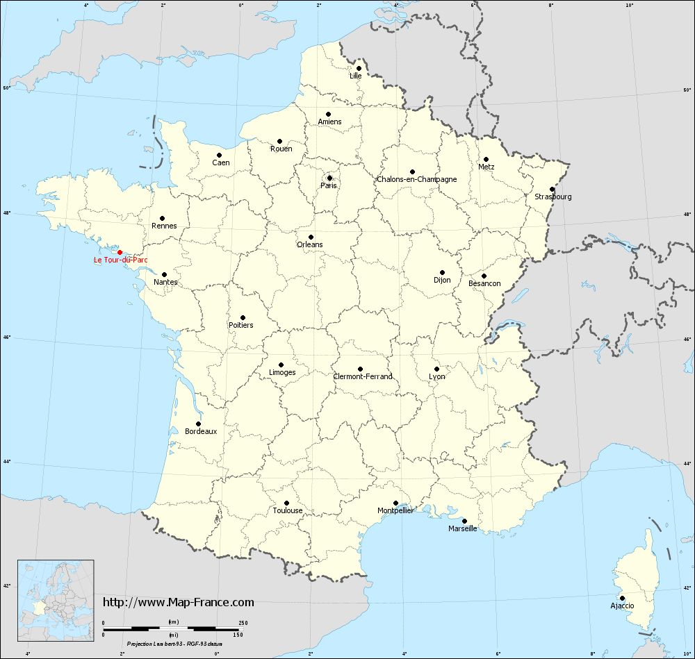
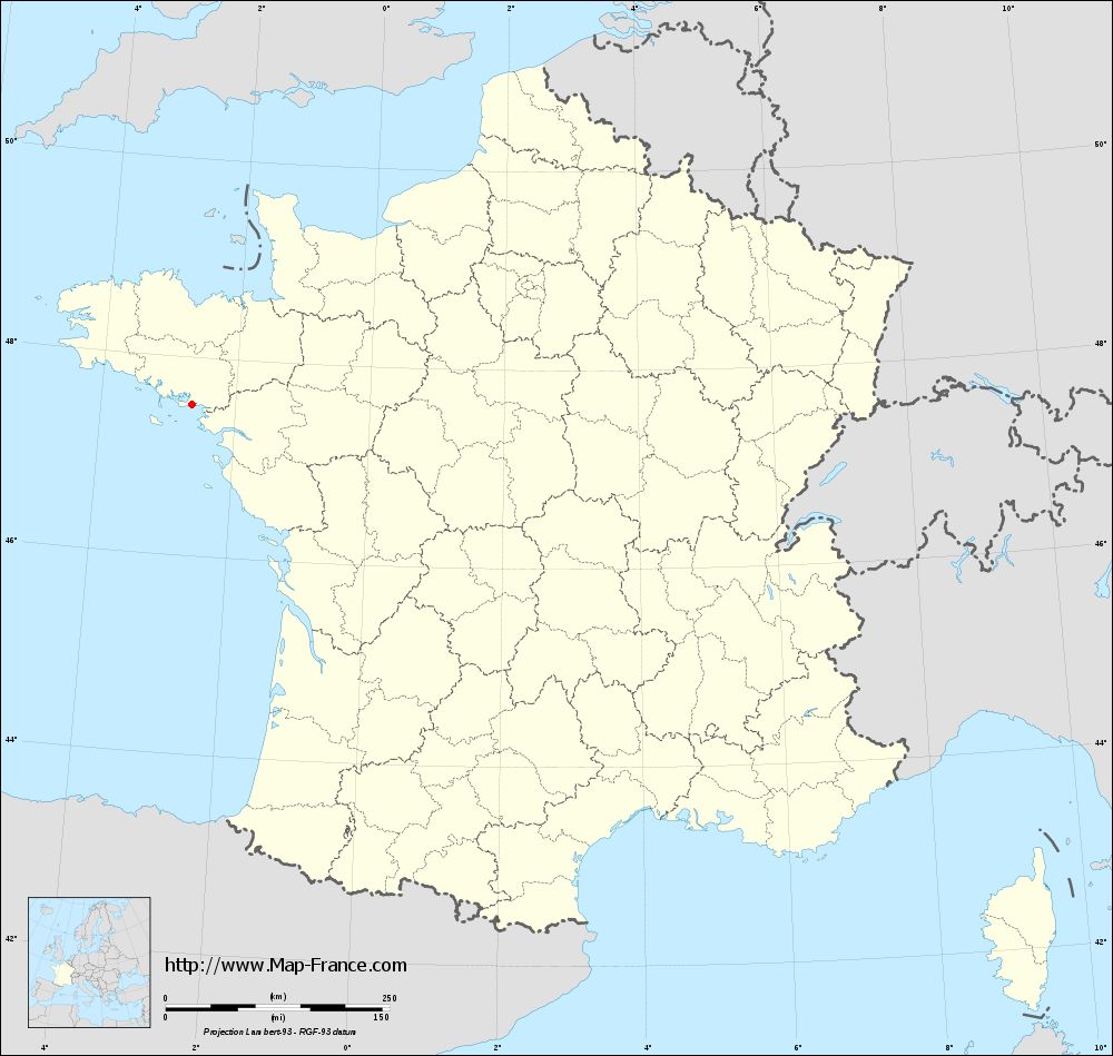
Map of Le Tour-du-Parc with regions and prefectures
|
View the map of Le Tour-du-Parc in full screen (1000 x 949)
|
You will find the location of Le Tour-du-Parc on the map of France of regions in Lambert 93 coordinates. The town of Le Tour-du-Parc is located in the department of Morbihan of the french region Bretagne.
Geographical sexagesimal coordinates / GPS (WGS84):
Latitude: 47° 31' 32'' North
Longitude: 02° 38' 44'' West
Geographical decimal coordinates :
Latitude: 47.525 degrees (47.525° North)
Longitude: -2.646 degrees (2.646° West)
Lambert 93 coordinates :
X: 2 756 hectometers
Y: 67 291 hectometers
Lambert 2 coordinates :
X: 2 251 hectometers
Y: 22 926 hectometers
Below, the geographical coordinates of Vannes, prefecture of the Morbihan department:
Geographical sexagesimal coordinates / GPS (WGS84):
Latitude: 47° 39' 18'' North
Longitude: 02° 45' 42'' West
Geographical decimal coordinates :
Latitude: 47.655 degrees (47.655° North)
Longitude: -2.761 degrees (2.761° West)
Lambert 93 coordinates :
X: 2 679 hectometers
Y: 67 441 hectometers
Lambert 2 coordinates :
X: 2 173 hectometers
Y: 23 075 hectometers
|
This map of Le Tour-du-Parc is reusable and modifiable by making a link to this page of the Map-France.com website or by using the given code :
|
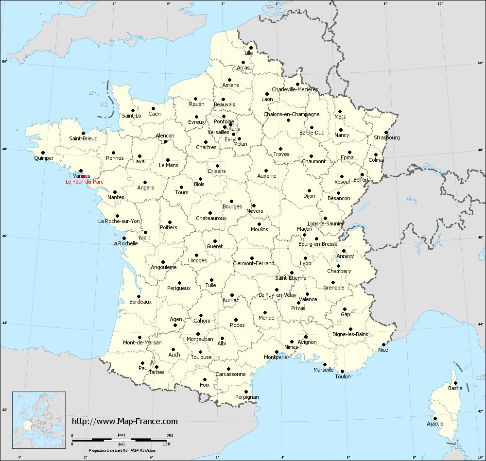
Map of Le Tour-du-Parc with departments and prefectures
|
Voir la carte of Le Tour-du-Parc en grand format (1000 x 949)
|
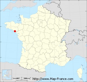
Here is the localization of Le Tour-du-Parc on the France map of departments in Lambert 93 coordinates. The city of Le Tour-du-Parc is shown on the map by a red point.
The town of Le Tour-du-Parc is located in the department of Morbihan of the french region Bretagne.
The latitude of Le Tour-du-Parc is 47.525 degrees North.
The longitude of Le Tour-du-Parc is 2.646 degrees West.
Here the distance between Le Tour-du-Parc and the biggest cities of France:
Distances are calculated as the crow flies (orthodromic distance)
Distance between Le Tour-du-Parc and Paris : 398.33 kilometers
Distance between Le Tour-du-Parc and Marseille : 783.2 kilometers
Distance between Le Tour-du-Parc and Lyon : 603.13 kilometers
Distance between Le Tour-du-Parc and Toulouse : 539.95 kilometers
Distance between Le Tour-du-Parc and Nice : 878.27 kilometers
Distance between Le Tour-du-Parc and Nantes : 88.95 kilometers
Distance between Le Tour-du-Parc and Strasbourg : 780.82 kilometers
Distance between Le Tour-du-Parc and Montpellier : 667.84 kilometers
Distance between Le Tour-du-Parc and Bordeaux : 337.88 kilometers
Distance between Le Tour-du-Parc and Lille : 538.65 kilometers
Distance between Le Tour-du-Parc and Rennes : 96.89 kilometers
Distance between Le Tour-du-Parc and Reims : 528.74 kilometers
Clic here to see the map of Le Tour-du-Parc in full screen:
Le Tour-du-Parc on the map of french departments
|
This administrative map of Le Tour-du-Parc is reusable and modifiable by making a link to this page of the Map-France.com website or by using the given code :
|
Administrative base maps of Le Tour-du-Parc
|
See the administrative base map of Le Tour-du-Parc in full screen (1000 x 949)
|
Small administrative base map of Le Tour-du-Parc
|
This base map administrative of Le Tour-du-Parc is reusable and modifiable by making a link to this page of the Map-France.com website or by using the given code :
|
 French Version : http://www.cartesfrance.fr